Pla, M.; Duane, A.; Brotons, L. (2017). Potencial de las imágenes UAV como datos de verdad terreno para la clasificación de la severidad de quema de imágenes Landsat: aproximaciones a un producto útil para la gestión post incendio. Revista de Teledetección. (49):91-102. doi:10.4995/raet.2017.7140
https://riunet.upv.es/handle/10251/92783
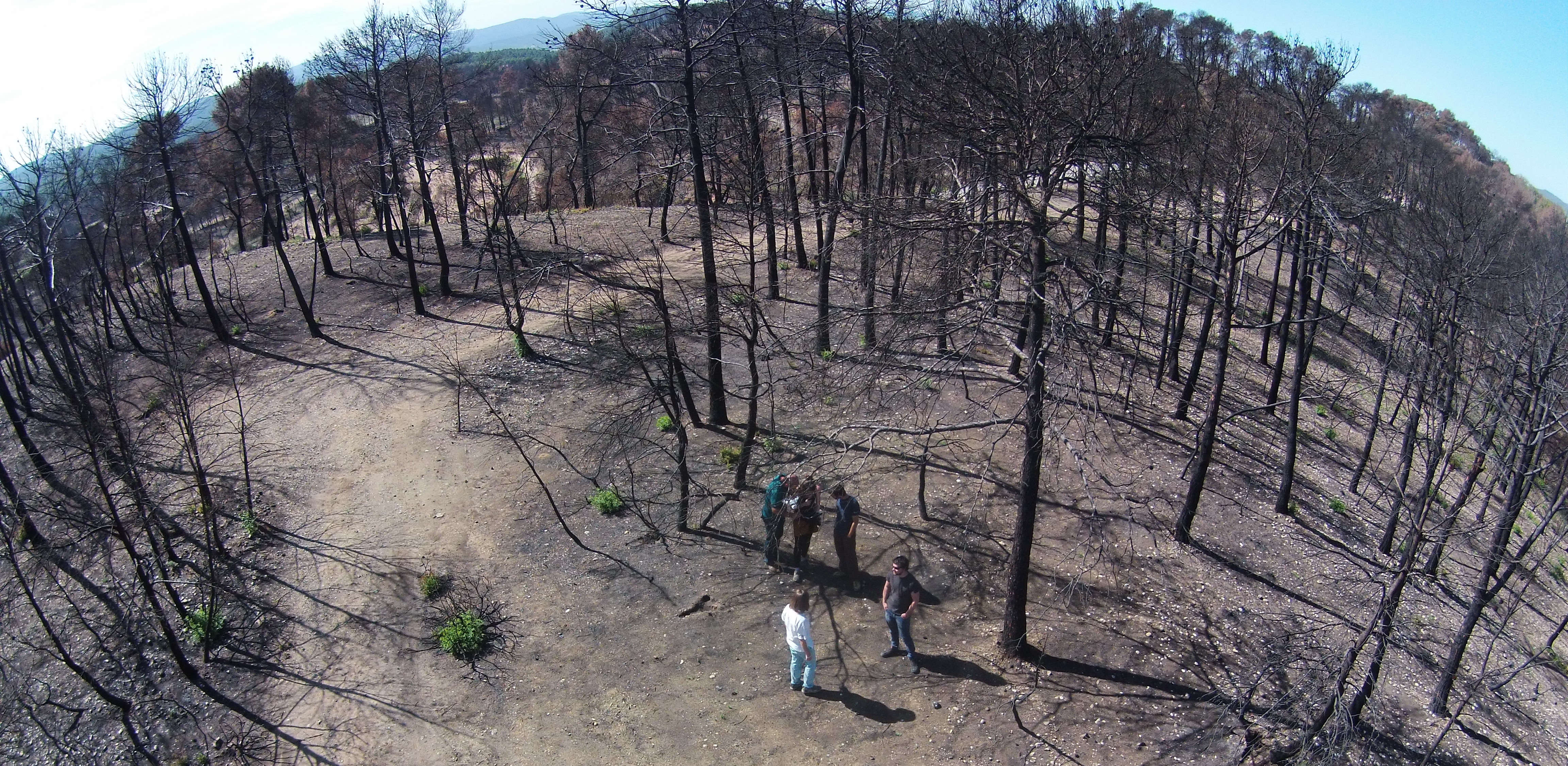
Mapping fire severity is determinant to understand landscape evolution after a wildfire and provides useful information for decision making during post fire management. Quantitative fire severity mapping from relative changes in Normalized Burn Ratio index (RdNBR) is not actually being incorporated into decision making processes, being more useful the categorization in severity levels (high, moderate and low). However, the most common mapping severity methodologies based on the definition of RdNBR thresholds from field information are not always possible due to lack of field data or because the published thresholds are unsatisfactory in new regions. The boom in the use of UAVs (Unmanned Aerial Vehicle) has raised these platforms as potential tools for validation of remote sensing data. This paper presents the potential of UAVs as ground truth information in forest fires. From the photointerpretation of high resolution RGB images, the Aerial Severity Proportion Index (ASPI) has been created. Non-linear regression models between RdNBR and ASPI allows to delimitate of thresholds for the classification of Landsat images and to
obtain qualitative severity maps. Validation with random points presents a kappa index of 0,5 and a relative accuracy of 70,8%. Therefore, UAV images become a very useful tool for wildfire severity mapping and for fill the gap between remote sensing information and expensive field ground campaigns.

